
📋 Table of Contents
Have you ever looked at a map of East Asia and wondered what makes the Korean Peninsula so unique? Well, you’re in for a treat! The geography of Korea is truly fascinating, shaping everything from its history to its culture. From towering mountains to serene coastlines, there’s so much to discover.
Sometimes, it can feel a bit overwhelming trying to piece together all the geographic facts about Korea, especially with different sources out there. But don’t worry, I’ve got you covered! We’ll break down the essentials, making it easy to understand the distinct features of both South Korea and North Korea. If you’re also curious about the culture and history, you might want to check out this article: Funfact Korea Culture History Explained. Let’s dive in and explore the incredible landscape of this peninsula!
Key Geographic Facts about Korea
Location and Overview of the Korean Peninsula
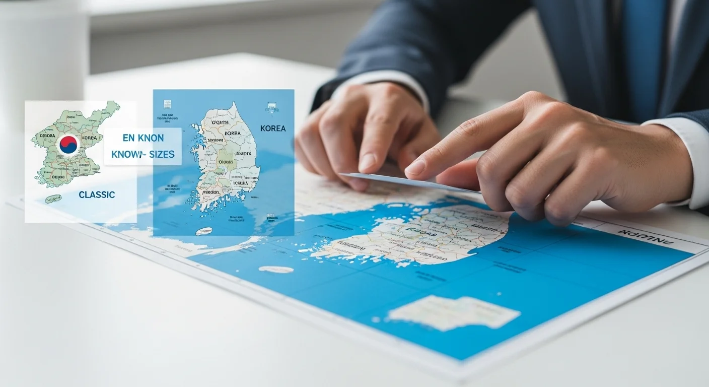
The Korean Peninsula is a captivating stretch of land located in East Asia. It’s nestled between some of the region’s giants, bordering China to the northwest and Russia to the northeast. To its southeast, across the waters, you’ll find Japan. This unique position has, quite frankly, played a huge role in its history and culture.
Today, as you probably know, the peninsula is famously divided into two distinct nations: South Korea and North Korea. This division is marked by the Demilitarized Zone (DMZ), a roughly 151-mile (243 km) long and 2.4-mile (4 km) wide strip of land near the 38th parallel. It’s truly a fascinating geographical feature, creating a unique ecological haven in an otherwise tense border region.
Key Location Facts 📝
- South Korea: Occupies the southern part of the peninsula, facing the Yellow Sea (Sohae, 서해) to the west and the East Sea (Donghae, 동해) to the east. Its coordinates are roughly 37°00′N, 127°30′E.
- North Korea: Located in the northern section, it shares borders with China and Russia. Its approximate coordinates are 40°00′N, 127°00′E.
- DMZ: This buffer zone, about 4 km wide, serves as a de facto border, a stark reminder of the peninsula’s divided past and present. You can read more about it here: Britannica on the 38th Parallel.
Understanding these basic geographic facts about Korea helps us appreciate how the landscape has influenced the development of both countries. It’s not just a line on a map; it’s a living, breathing part of their identity!
Land Area and Comparative Size
When we talk about the size of the Korean Peninsula, we’re looking at a total area of about 223,170 square kilometers (84,565 sq mi). To give you a better idea, this is roughly comparable to the U.S. state of Utah. It’s not a massive landmass, but it packs a lot of geographical diversity into its borders.
Interestingly, the two Koreas have quite different land areas. South Korea is smaller but densely populated, while North Korea is larger with a less concentrated population. This difference in size also means varying access to natural resources and different geographical challenges for each nation.
Comparing the sizes of North and South Korea.
| Entity | Area (km²) | Comparison (Approx.) |
|---|---|---|
| Korean Peninsula (Total) | ~223,170 | Utah, USA |
| South Korea | ~99,720 | Indiana, USA or Portugal |
| North Korea | ~120,538 | Slightly larger than Virginia, USA |
It’s quite something to see how different these sizes are, isn’t it? Even with these variations, the entire peninsula remains a relatively compact area, which means many of its geographic features, like mountain ranges and river systems, often span across both countries. You can learn more about the geography of South Korea on Wikipedia.
Distinctive Borders and Coastlines
The borders and coastlines of the Korean Peninsula are as distinct as its landmass. South Korea shares a land border of about 237-238 km with North Korea, primarily along the DMZ. North Korea, on the other hand, has more extensive land borders: 1,352 km with China and 18 km with Russia, totaling about 1,607 km of land borders.
When we look at the sea, both Koreas have significant coastlines that interact with different seas. These coastlines are not just beautiful; they are crucial for trade, fishing, and defense, showcasing another key aspect of the geographic facts about Korea.
Coastal and Border Highlights 🌊
- South Korea’s Coastline: Measures about 2,413 km. It borders the Yellow Sea (Sohae, 서해) to the west, the East China Sea to the south, and the East Sea (Donghae, 동해) to the east. You’ll find over 3,000 small, uninhabited islands, particularly off its western and southern coasts, which are pretty unique!
- North Korea’s Coastline: Stretches for approximately 2,495 km, facing primarily the Yellow Sea to the west and the East Sea to the east.
- International Borders: The peninsula’s proximity to major powers like China and Russia has always been a key geopolitical factor. You can explore more about these geographical connections on the National Atlas of Korea.
The extensive coastlines and strategic borders truly highlight the peninsula’s position as a gateway between mainland Asia and the Pacific. It’s a land of many connections, both on land and by sea.
Unique Topography and Mountain Ranges
One of the most defining geographic facts about Korea is its mountainous terrain. About 70% of the entire peninsula is covered by hills and mountains! This isn’t just a slight elevation; we’re talking about significant ranges that dictate everything from climate to population distribution.
The backbone of the peninsula is the Taebaek Mountains (태백산맥), which run north-to-south along the eastern coast. This range creates a steep, dramatic eastern shoreline and allows for broad coastal plains to open up on the western side. It’s truly a sight to behold, influencing so much of the peninsula’s natural beauty and resources.
The Korean Peninsula is shaped by several prominent mountain ranges and features:
- Taebaek Mountains (태백산맥): The primary mountain range, running along the eastern coast and forming a major watershed.
- Sobaek Mountains (소백산맥): A significant range located in the southern part of the peninsula, branching off the Taebaek range.
- Baekdu-san (백두산): An ancient volcanic mountain, it’s the highest peak on the peninsula (over 2,744 m or 9,000 ft) and lies near the border between North Korea and China.
- Halla-san (한라산): Located on Jeju Island (제주도) off the southern coast of South Korea, this central volcano is the country’s highest point (1,950 m or 6,398 ft) and a UNESCO World Natural Heritage site.
The average elevation in South Korea is around 282 meters, while North Korea’s average is higher at about 600 meters. These elevation differences mean varied climates and ecosystems across the peninsula, which is pretty cool if you ask me!
Major Rivers and Water Resources
Beyond its mountains, the Korean Peninsula is crisscrossed by numerous rivers, which are absolutely vital for its people and economy. These rivers have historically been the lifeblood of communities, providing water for agriculture, transportation, and daily life. You know, rivers are often where civilizations thrive, and Korea is no exception!
From the bustling capital of Seoul, bisected by the famous Han River, to the northern borders defined by powerful international rivers, the water systems are integral to the geographic facts about Korea. They play a huge role in supporting the dense populations and the agricultural sectors of both North and South Korea.
Prominent Rivers of the Korean Peninsula 💧
- Han River (한강): Flows through Seoul, the capital of South Korea, and is one of the most important rivers in the country.
- Nakdong River (낙동강): The longest river entirely within South Korea, flowing through its southeastern region.
- Geum River (금강) and Yeongsan River (영산강): Other significant rivers in South Korea, contributing to agriculture and local economies.
- Amnok/Yalu River (압록강): Forms a large part of the border between North Korea and China, originating from Baekdu-san.
- Tumen/Duman River (두만강): Defines sections of the North Korea-China and North Korea-Russia borders, also originating from Baekdu-san.
These rivers are not only crucial for irrigation—South Korea irrigates about 7,780 km² (as of 2012) and North Korea 14,600 km² (as of 2012)—but also for providing the total renewable water resources. For example, South Korea had about 69.7 billion m³ (2017) and North Korea 77.15 billion m³ (2017). It’s a lot of water, which is definitely a blessing for the peninsula!
Climate Patterns and Natural Phenomena
The Korean Peninsula experiences a temperate climate, which means it has four distinct seasons. However, the most striking feature of its climate is the heavy concentration of rainfall during the summer months. This is largely due to the East Asian monsoon, which brings a significant portion of the annual precipitation.
While both Koreas share this general temperate pattern, there are notable differences, especially when it comes to winters and natural disasters. Understanding these variations helps us complete our picture of the geographic facts about Korea.
| Aspect | South Korea | North Korea |
|---|---|---|
| Winter | Cold, often with significant snowfall, especially in mountainous regions. | Long and severe winters, much harsher than in the South. |
| Summer | Hot and humid with heavy rainfall, often leading to monsoon season. | Similar hot and rainy summers, but followed by potential spring droughts. |
| Natural Disasters | Prone to typhoons and floods, with low-intensity earthquakes mainly in the southwest. | Experiences spring droughts followed by severe floods and typhoons. Also prone to earthquakes. |
It’s a stark reminder that geography isn’t just about landforms; it’s also about how the environment impacts daily life. These climate patterns and potential natural disasters require careful management and planning for both nations. You know, it’s pretty impressive how people adapt to these things over time!
Land Use and Natural Resources
Finally, let’s talk about how the land is used and what natural treasures lie beneath the surface. This aspect of the geographic facts about Korea truly highlights the economic and social priorities of each country. Given the mountainous terrain, you might expect less arable land, and you’d be right!
Despite the challenges, both Koreas have managed to utilize their land for agriculture and extract valuable natural resources, which are essential for their industries and energy needs. It’s a testament to human ingenuity, really.
Land Use and Resources Overview 🌱
- South Korea:
- Agricultural Land: Approximately 18.1% (15.3% arable, 2.2% permanent crops, 0.6% permanent pasture, 2018).
- Forest Area: About 63.9% of the land.
- Natural Resources: Coal, tungsten, graphite, molybdenum, lead, and hydropower potential.
- North Korea:
- Agricultural Land: Roughly 21.8% (19.5% arable, 2018).
- Forest Area: Around 46% of the land.
- Natural Resources: Coal, iron ore, limestone, magnesite, gold, silver, copper, lead, zinc, and hydropower potential.
As you can see, North Korea generally has more arable land and a wider array of mineral resources, while South Korea has a higher percentage of forest cover. Population density is generally higher in the western plains of both countries, with major cities like Seoul (서울) and Pyongyang (평양) being prime examples. It’s truly a diverse landscape with a lot to offer!
📚 Recommended Articles
Frequently Asked Questions ❓
Well, there you have it! A journey through the captivating geographic facts about Korea. From its strategic location in East Asia to its stunning mountains, vital rivers, and diverse coastlines, the peninsula truly is a land of rich natural features. Understanding its geography helps us appreciate the unique characteristics of both South and North Korea.
I hope this exploration has given you a clearer picture and perhaps even sparked a greater interest in this incredible part of the world. If you have any more questions or want to share your own thoughts, please feel free to leave a comment below!